Motorhome stops by place › United States › South Dakota

Black Hills: motorhome stops and campsites – Rapid City, Mount Rushmore

In Black Hills (South Dakota, United States) there are 7 motorhome stops, 27 campsites, 1 motorhome parking and 6 rest areas. Here they are, with what we know about electricity, water, waste disposal and what others think. Everything is also on the map, where you can add the places to a trip.

🚐 Plan a trip here 🗺️ Show on map 🌤️ Weather in Black Hills
🚐 7 motorhome stops 🏕 27 campsites 🅿️ 1 motorhome parking 🛻 6 rest areas
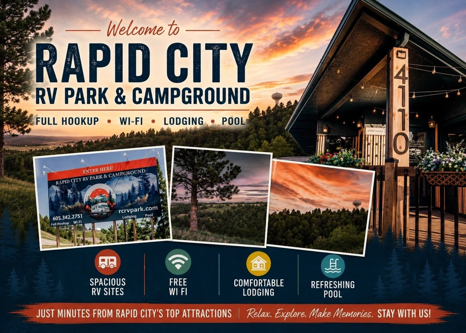
Rapid City RV Park & Campground

🏕 Rapid City RV Park & Campground

Campsite · 4.3 km from Black Hills

A practical overnight stop in Rapid City, South Dakota, this centrally located park is near Mount Rushmore attractions. Open year-round (amenities May-Sep), it offers 30/50 amp full-hookup pull-through RV sites ($60-91/night), cabins, and tent sites. Enjoy …

⚡ Electricity🚻 Toilet📶 Wi-Fi🐕 Dogs welcome
Show on map →
Rapid City - Black Hills KOA Holiday

🏕 Rapid City - Black Hills KOA Holiday

Campsite · 5.3 km from Black Hills

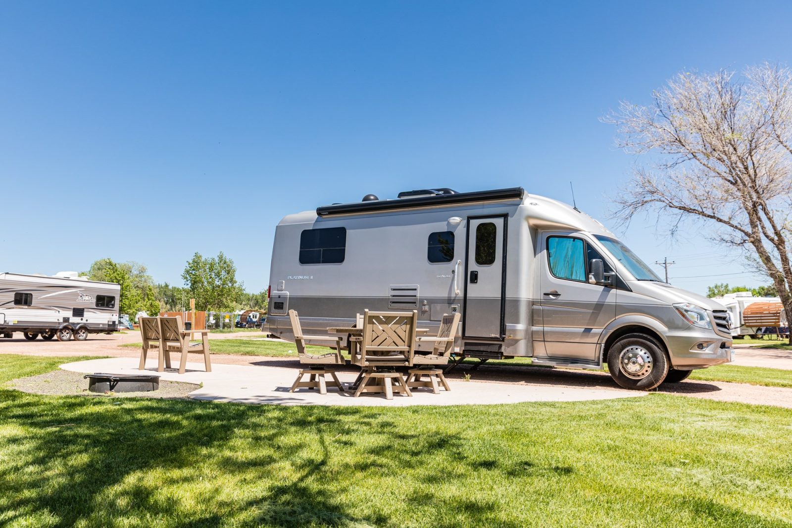
Open year round, Rapid City - Black Hills KOA Holiday offers an overnight stay near Mount Rushmore & Badlands. It features 50 amp RV hookups, Pull-Thru sites up to 100 ft, a KampK9 dog park on site, plus a convenience store & propane.

⚡ Electricity🚻 Toilet📶 Wi-Fi🐕 Dogs welcome
Show on map →
Happy Holidays RV Resort

🏕 Happy Holidays RV Resort

Campsite · 10.5 km from Black Hills

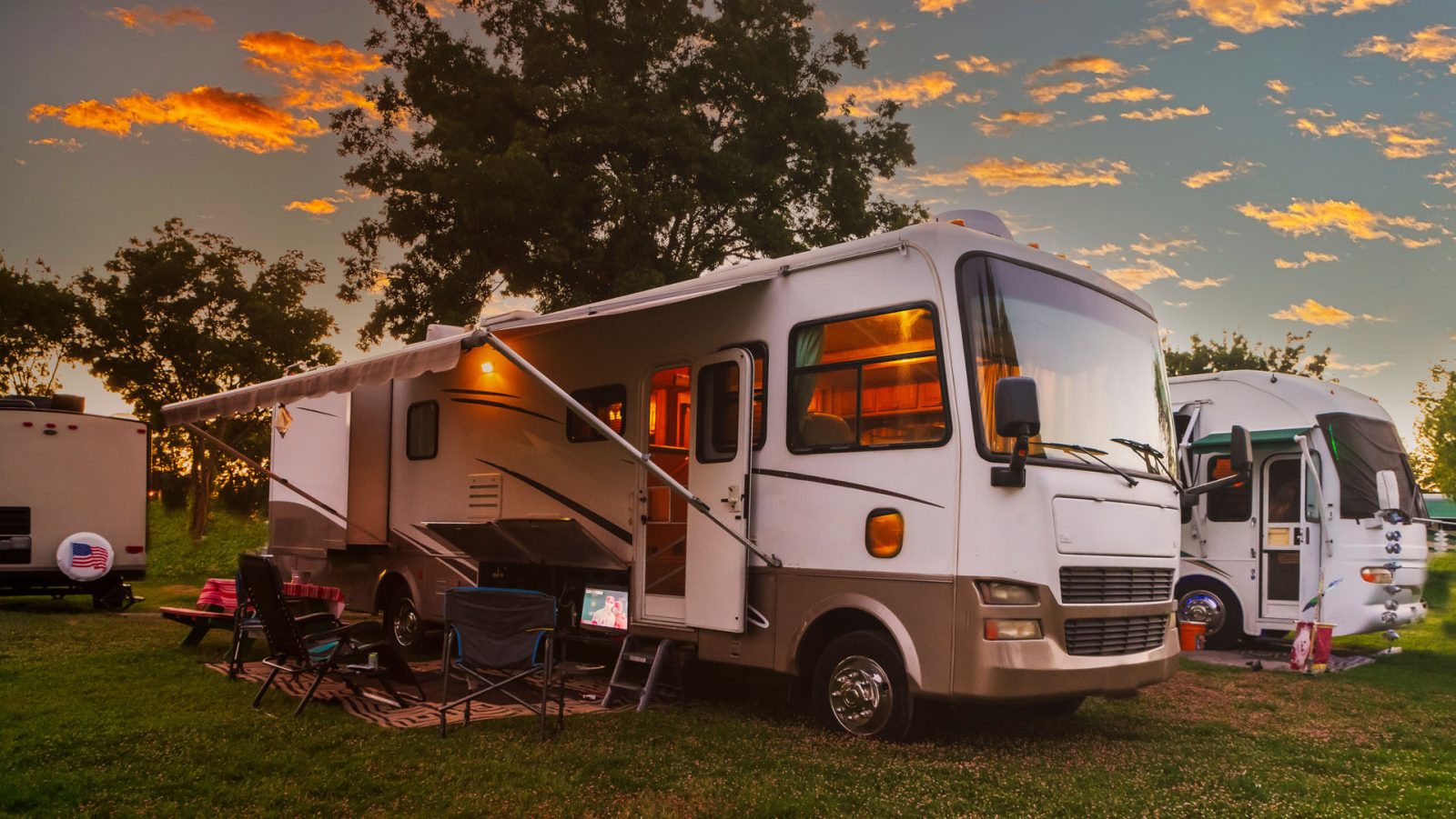
Open year-round with no membership required, Happy Holidays RV Resort in Pennington County is a convenient overnight stop just 5 miles from Rapid City and 14 miles from Mount Rushmore. Travelers can grab essentials at the on-site convenience store or host a …

⚡ Electricity🚻 Toilet📶 Wi-Fi
Show on map →
Rapid City - Black Hills KOA

🏕 Rapid City - Black Hills KOA

Campsite · 5.3 km from Black Hills

Perfect for an overnight stop in Rapid City, Pennington County, South Dakota, this year-round United States campsite operates from 01-01 to 12-31. Conveniently near Mt Rushmore & Badlands, it features RV sites with 50 amp hookups, a swimming pool on site, …

📶 Wi-Fi🐕 Dogs welcome
Show on map →
Rapid City South RV Park

🅿️ Rapid City South RV Park

Motorhome parking · 8.9 km from Black Hills

Located in Pennington County, South Dakota, Rapid City South RV Park offers 80 level gravel full hook-up sites designed exclusively for RVs, as no tents are allowed. Guests can enjoy high-speed fiber internet at every site and utilize the two dog runs and …

⚡ Electricity📶 Wi-Fi🐕 Dogs welcome
Show on map →
Map: Shadows of Rushmore

🚐 Shadows of Rushmore

Motorhome stop · 14 km from Black Hills

Shadows of Rushmore is a caravan site in Pennington County, South Dakota. It sits near the iconic Mount Rushmore National Memorial, where the faces of four US presidents are carved into the granite of the Black Hills. Visitors can view the towering sculpture …

⚡ Electricity🚻 Toilet
Show on map →
Map: Central States Fairgrounds

🏕 Central States Fairgrounds

Campsite · 3.1 km from Black Hills

Central States Fairgrounds is a campsite in Rapid City, Pennington County, South Dakota. Located on the edge of the Black Hills, the area provides direct access to notable regional landmarks. Travellers can visit Mount Rushmore National Memorial or drive the …

⚡ Electricity
Show on map →
Map: Grizzly Creek - USFS

🏕 Grizzly Creek - USFS

Campsite · 28.2 km from Black Hills

Grizzly Creek - USFS is a campsite located in Pennington County, South Dakota. The campsite sits right along Grizzly Creek in the Black Hills, where ponderosa pine forests blanket the steep terrain. You can hike remote backcountry trails, fish for wild trout …

💧 Water
Show on map →
Map: Horse Thief Lake Campground

🏕 Horse Thief Lake Campground

Campsite · 28.8 km from Black Hills

Horse Thief Lake Campground is located in Pennington County, South Dakota, United States. It sits in the Black Hills, where you can explore trails around the nearby lake and drive to Mount Rushmore, visible just a few miles east along Highway 244, or hike …

🚻 Toilet
Show on map →
Map: Dutchman - USFS

🏕 Dutchman - USFS

Campsite · 44.3 km from Black Hills

Dutchman - USFS is a campsite located in Pennington County, South Dakota. It sits right in the Black Hills, a rugged landscape of ponderosa pine forests and granite peaks. From here, you can easily hike or drive to the iconic Mount Rushmore or explore the …

💧 Water
Show on map →
Map: Custer Trail - USFS

🏕 Custer Trail - USFS

Campsite · 45.7 km from Black Hills

Custer Trail - USFS is a campsite located in Pennington County, South Dakota. It sits directly within the Black Hills National Forest, a rugged landscape characterized by dense ponderosa pine forests and steep granite peaks. From this area, travelers can …

💧 Water
Show on map →
Map: Whitetail Campground

🏕 Whitetail Campground

Campsite · 46.2 km from Black Hills

Whitetail Campground is a stop in Pennington County, South Dakota. This puts you in the Black Hills, where ponderosa pine forests and rugged canyons define the terrain. Drive west to the volcanic spires of the Black Elk Peak area, or explore the nearby Iron …

💧 Water
Show on map →
Map: Canyon Lake Cottages

🏕 Canyon Lake Cottages

Campsite · 5.7 km from Black Hills

Canyon Lake Cottages is a campsite in Rapid City, Pennington County, South Dakota. It sits in the Black Hills foothills, putting you within driving distance of iconic destinations like Mount Rushmore and the scenic Needles Highway. The nearby Pactola Lake and …

Show on map →
Map: Lake Park Campground

🚐 Lake Park Campground

Motorhome stop · 5.7 km from Black Hills

Lake Park Campground is located in Rapid City, Pennington County, South Dakota, United States. The stop sits in Rapid City, which lies near the Black Hills, a rugged mountain range characterized by pine forests, granite peaks like Black Elk Peak, and striking …

Show on map →
Map: Mystery Mountain Resort

🚐 Mystery Mountain Resort

Motorhome stop · 13.4 km from Black Hills

Mystery Mountain Resort is a caravan site located in Pennington County, South Dakota. It sits right at the edge of the Black Hills, a rugged, forested mountain range rising from the Great Plains. From here, travellers can explore the striking granite spires …

Show on map →
Map: Pactola Campground

🏕 Pactola Campground

Campsite · 21.8 km from Black Hills

Pactola Campground is located in Pennington County, South Dakota, United States. It sits in the northern Black Hills, on the forested slopes above Pactola Lake, the largest reservoir in the area, created by the Pactola Dam on Rapid Creek. From the surrounding …

Show on map →
Map: Sheridan Lake South Shore Campground

🏕 Sheridan Lake South Shore Campground

Campsite · 23 km from Black Hills

Sheridan Lake South Shore Campground is a stop in Pennington County, South Dakota. The campground sits along Sheridan Lake in the Black Hills, where ponderosa pine forests meet the water. You can fish for trout, kayak across the lake, or follow the Flume …

Show on map →
Map: Bear Gulch

🏕 Bear Gulch

Campsite · 23.5 km from Black Hills

Bear Gulch is a campsite located in Pennington County, South Dakota. It sits right in the Black Hills, a rugged landscape of pine-covered mountains and dramatic rock outcroppings. From this spot, you can explore nearby hiking trails or gaze at the steep …

Show on map →
Map: Three Forks Campground

🏕 Three Forks Campground

Campsite · 26.7 km from Black Hills

Three Forks Campground is located in Pennington County, South Dakota, United States. The surrounding Black Hills feature rugged canyons and dense pine forests, with nearby Rapid Creek providing trout fishing opportunities.

Show on map →
Map: Mount Rushmore KOA Resort at Palmer Gulch Resort

🚐 Mount Rushmore KOA Resort at Palmer Gulch Resort

Motorhome stop · 31.2 km from Black Hills

Mount Rushmore KOA Resort at Palmer Gulch Resort is a caravan site in Pennington County, South Dakota. It sits at Palmer Gulch in the Black Hills, directly facing the iconic Mount Rushmore. From the site, you can see the presidential carving and hike the …

Show on map →
Map: Willow Creek Horse Camp

🏕 Willow Creek Horse Camp

Campsite · 32 km from Black Hills
Show on map →
Map: Black Hills Trailside Park Resort

🚐 Black Hills Trailside Park Resort

Motorhome stop · 32.7 km from Black Hills
Show on map →
Map: Creekside Mountain Resort

🏕 Creekside Mountain Resort

Campsite · 35 km from Black Hills
Show on map →
Map: Rafter J Bar Ranch

🏕 Rafter J Bar Ranch

Campsite · 35.7 km from Black Hills
Show on map →
Map: Horse Thief Campground & Resort

🏕 Horse Thief Campground & Resort

Campsite · 36.6 km from Black Hills
Show on map →
Map: Oreville Campground

🏕 Oreville Campground

Campsite · 37.8 km from Black Hills
Show on map →
Map: Castle Peak Campground

🏕 Castle Peak Campground

Campsite · 39.6 km from Black Hills
Show on map →
Map: Medicine Mountain Scout Ranch

🏕 Medicine Mountain Scout Ranch

Campsite · 44.5 km from Black Hills
Show on map →
Map: Ditch Creek Campground

🏕 Ditch Creek Campground

Campsite · 50.5 km from Black Hills
Show on map →
Map: 24 Express Camp Ground

🚐 24 Express Camp Ground

Motorhome stop · 62.3 km from Black Hills
Show on map →
Map: Sunrise Campground & RV Park

🚐 Sunrise Campground & RV Park

Motorhome stop · 62.7 km from Black Hills
Show on map →
Map: Beaver Creek Campground

🏕 Beaver Creek Campground

Campsite · 65.3 km from Black Hills
Show on map →
Map: Sage Creek Campground

🏕 Sage Creek Campground

Campsite · 68.4 km from Black Hills
Show on map →
Map: Sleepy Hollow Campground & RV Park

🏕 Sleepy Hollow Campground & RV Park

Campsite · 79.3 km from Black Hills
Show on map →
Map: Buffalo Gap National Grassland

🏕 Buffalo Gap National Grassland

Campsite · 82.3 km from Black Hills
Show on map →
Map: Flying J Travel Center

🛻 Flying J Travel Center

Rest area · 7 km from Black Hills
🚻 Toilet
Show on map →
Map: Pilot Travel Center

🛻 Pilot Travel Center

Rest area · 4.9 km from Black Hills
Show on map →
Map: I-90 Black Hillls Welcome Center

🛻 I-90 Black Hillls Welcome Center

Rest area · 6.5 km from Black Hills
Show on map →
Map: Love's Travel Stop

🛻 Love's Travel Stop

Rest area · 14.9 km from Black Hills
Show on map →
Map: Wasta Rest Area (Eastbound)

🛻 Wasta Rest Area (Eastbound)

Rest area · 63.2 km from Black Hills
Show on map →
Map: Wasta Rest Area (Westbound)

🛻 Wasta Rest Area (Westbound)

Rest area · 63.5 km from Black Hills
Show on map →

Data from OpenStreetMap, the places’ own websites and Stop4Sun users. Something wrong? Open the place on the map and correct it.
More places →