
Motorhome stops by place › Denmark › Nordjylland

Hjørring: motorhome stops and campsites – Lønstrup, Hirtshals

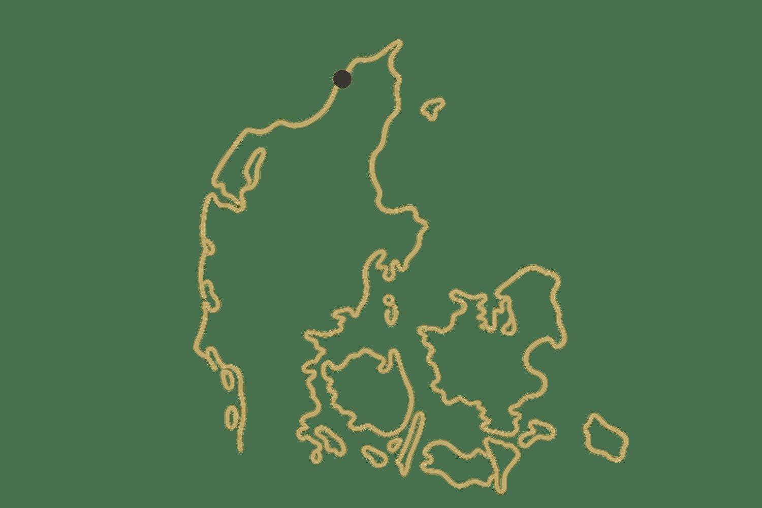
In Hjørring (Nordjylland, Denmark) there are 2 motorhome stops, 35 campsites, 2 motorhome parkings and 18 rest areas. Here they are, with what we know about electricity, water, waste disposal and what others think. Everything is also on the map, where you can add the places to a trip.

🚐 Plan a trip here 🗺️ Show on map 🌤️ Weather in Hjørring
🚐 2 motorhome stops 🏕 35 campsites 🅿️ 2 motorhome parkings 🛻 18 rest areas
Tannisby camping

🏕 Tannisby camping

Campsite · 19.4 km from Hjørring

Tannisby camping in North Denmark's Hjørring Municipality welcomes motorhomes and caravans with full hookups including electricity and water. This well-equipped site offers modern conveniences like WiFi alongside essential facilities - toilets and showers. …

⚡ Electricity💧 Water🚻 Toilet🚿 Shower📶 Wi-Fi
Show on map →
Egelunds Camping og Motel

🏕 Egelunds Camping og Motel

Campsite · 11.1 km from Hjørring

If you are exploring the North Denmark Region with your motorhome or caravan, Egelunds Camping og Motel provides a welcoming overnight stop where motorhomes, caravans, and tents are all welcome. Located in Hjørring Municipality, it serves as a highly …

Show on map →
Map: Anastasia Hjorth

🛻 Anastasia Hjorth

Rest area · 13.4 km from Hjørring · ★ 5 (5 reviews)

Anastasia Hjorth is a rest area located in Hjørring Municipality within the North Denmark Region of Denmark. The area sits inland near the outskirts of Hjørring, the region's oldest town, where visitors can explore the historic Vendsyssel Museum or venture …

Show on map →
Map: Vendiakaffe

🛻 Vendiakaffe

Rest area · 8.4 km from Hjørring · ★ 5 (3 reviews)

Vendiakaffe is a rest area situated in Hjørring Municipality within the North Denmark Region. It stands near the coast of the Skagerrak, where the shifting sands and dunes of the Rubjerg Knude landscape define the shoreline. From here, travellers can take in …

Show on map →
Map: Rasteplads

🛻 Rasteplads

Rest area · 15.1 km from Hjørring · ★ 5 (3 reviews)

Rasteplads is a rest area situated in Hjørring Municipality, North Denmark Region, Denmark. It sits near the exposed coast of the Skagerrak, where visitors can walk along wide sandy beaches and see the distinctive white Rubjerg Knude lighthouse standing on …

Show on map →
Map: Brücke über den Fluss Uggerby

🏕 Brücke über den Fluss Uggerby

Campsite · 17.6 km from Hjørring · ★ 5 (1 reviews)

For a minimalist overnight stop in Hjørring Municipality, this very small, primitive campsite sits right by the bridge over Uggerby Å. Located by the river amid open dunes, it offers no shelter and cannot be booked, so pitch your small tent here only in …

Show on map →
Map: P plads

🛻 P plads

Rest area · 16.8 km from Hjørring · ★ 5 (1 reviews)

P plads is a rest area located in Hjørring Municipality in the North Denmark Region of Denmark. It sits near the scenic coast of the Skagerrak, where you can walk along the wide sandy beaches and admire the distinctive white chalk cliffs of Lønstrup Klint …

Show on map →
Map: Nr. Lyngby Shelterplads

🏕 Nr. Lyngby Shelterplads

Campsite · 14.5 km from Hjørring · ★ 4.7 (11 reviews)

Nr. Lyngby Shelterplads is a campsite located in Hjørring Municipality in the North Denmark Region of Denmark. It sits directly by the North Sea coast, where wide sandy beaches stretch beneath dramatic coastal cliffs. You can walk along the shore, watch the …

Show on map →
Map: Keramikcafé Møllehuset

🛻 Keramikcafé Møllehuset

Rest area · 9.7 km from Hjørring · ★ 4.6 (622 reviews)

Keramikcafé Møllehuset is a rest area in Hjørring Municipality, North Denmark Region, Denmark. It sits near the rugged Vendsyssel coastline, where the shallow waters of the Skagerrak meet the shore. Visitors can walk along the sandy beaches, take in views …

Show on map →
Map: Bjørnager Landbrugsmuseum

🏕 Bjørnager Landbrugsmuseum

Campsite · 20.6 km from Hjørring · ★ 4.6 (8 reviews)

Bjørnager Landbrugsmuseum is a campsite located in Hjørring Municipality in the North Denmark Region of Denmark. This area sits near the Skagerrak coast, where broad sandy beaches and dramatic dunes shape the shoreline. You can explore the shifting sands of …

Show on map →
Map: Parkering Skagensvej

🛻 Parkering Skagensvej

Rest area · 26.6 km from Hjørring · ★ 4.5 (28 reviews)

Parkering Skagensvej is a rest area located in Hjørring Municipality, North Denmark Region, Denmark. It sits along the scenic Skagensvej route, offering direct access to the wide sandy beaches and rolling dunes of the North Jutland coast. Visitors can take a …

🚻 Toilet
Show on map →
Map: Natur Camping

🏕 Natur Camping

Campsite · 15.2 km from Hjørring · ★ 4.5 (10 reviews)

Natur Camping is located in Hjørring Municipality in the North Denmark Region of Denmark. This area of Vendsyssel features wide sandy North Sea beaches at nearby Tornby and Uggerby, plus shifting sand dunes at Rubjerg Knude lighthouse. You can walk coastal …

Show on map →
Map: Shelterplads "Stranden"

🏕 Shelterplads "Stranden"

Campsite · 15.6 km from Hjørring · ★ 4.4 (80 reviews)

Located in Hjørring Municipality, North Denmark Region, Denmark, Shelterplads "Stranden" is a seasonal summer spot offering direct beach access. The car-free site features four six-person shelters and tent camping. While primarily requiring group bookings, …

💧 Water
Show on map →
Map: Shelterplads ved Astrup

🏕 Shelterplads ved Astrup

Campsite · 8.5 km from Hjørring · ★ 4.4 (16 reviews)

Shelterplads ved Astrup is a campsite in Hjørring Municipality in the North Denmark Region of Denmark. It sits near the open waters of the Skagerrak coast, where broad sandy beaches stretch for miles and tall coastal dunes shape the landscape. Visitors can …

💧 Water
Show on map →
Map: Fiskespot 1

🏕 Fiskespot 1

Campsite · 17.7 km from Hjørring · ★ 3.7 (6 reviews)

Fiskespot 1 is a campsite in Hjørring Municipality, North Denmark Region, Denmark. It sits near the Skagerrak coast, where wide sandy beaches stretch along the sea and low dunes shape the shoreline. Visitors can walk the beach, watch for seabirds, or take in …

💧 Water
Show on map →
Map: Rasteplads

🛻 Rasteplads

Rest area · 13.3 km from Hjørring · ★ 3 (5 reviews)

Rasteplads is a rest area situated in Hjørring Municipality within the North Denmark Region of Denmark. It stands near the Skagerrak coast, where the landscape shifts between wide sandy beaches and steep coastal cliffs. From this position along the …

Show on map →
Map: Løkkensvej Bondegårdsferie

🚐 Løkkensvej Bondegårdsferie

Motorhome stop · 14.4 km from Hjørring

Løkkensvej Bondegårdsferie is a caravan site in Hjørring Municipality, North Denmark Region, Denmark. It sits near the coastal town of Løkken, where wide sandy beaches meet the North Sea. You can walk among the distinctive white beach bunkers, watch …

⚡ Electricity💧 Water🚻 Toilet🚿 Shower
Show on map →
Map: Slettingen shelters

🏕 Slettingen shelters

Campsite · 7.5 km from Hjørring

Slettingen shelters is a campsite located in Hjørring Municipality in the North Denmark Region of Denmark. It sits near the rugged coast of the Skagerrak, where wide sandy beaches stretch along the sea and steep coastal cliffs shape the landscape. Visitors …

💧 Water🚻 Toilet
Show on map →
Map: Gl. Klitgaard Camping & Hytteby

🏕 Gl. Klitgaard Camping & Hytteby

Campsite · 13.8 km from Hjørring

For a relaxing overnight stop in Hjørring Municipality, Gl. Klitgaard Camping & Hytteby sits right by the North Sea beach. Unwind in a luxury cabin or yurt, take a dip in the swimming pool, or visit the mini zoo. Equestrians can go Icelandic horse riding or …

⚡ Electricity🚻 Toilet📶 Wi-Fi
Show on map →
Map: Hirtshals Camping

🏕 Hirtshals Camping

Campsite · 14.8 km from Hjørring

For a convenient overnight stop in the North Denmark Region, Hirtshals Camping offers views of Skagerrak near a sandy beach. Open Mar-Oct, it is located by the water and close to Hirtshals center. This family-friendly site features free WiFi, a motorhome dump …

⚡ Electricity🧺 Waste disposal📶 Wi-Fi
Show on map →
Map: Løkken Nord Familiecamping

🏕 Løkken Nord Familiecamping

Campsite · 16.8 km from Hjørring

Løkken Nord Familiecamping is located in Hjørring Municipality in the North Denmark Region of Denmark. It sits in Løkken, a coastal town known for its long sandy North Sea beaches and distinctive yellow cliffs. Visitors can walk the shoreline, surf the …

🚻 Toilet🚿 Shower
Show on map →
Map: Østerklit telt og shelterplads

🏕 Østerklit telt og shelterplads

Campsite · 23.2 km from Hjørring

Østerklit telt og shelterplads, near the North Sea in Hjørring Municipality, is a walk-in-only summer campsite ideal for an overnight stop. With no driving to the site, pack in your gear to claim a first-come, first-served tent spot or shelter. You can also …

💧 Water🚻 Toilet
Show on map →
Map: Tornby Klitplantage - Skidterisletten

🏕 Tornby Klitplantage - Skidterisletten

Campsite · 9.4 km from Hjørring

Escape to Tornby Klitplantage - Skidterisletten in North Denmark Region for a free, no-bookings-needed overnight stay. Choose between two 6-person shelters or pitch a tent nearby. Enjoy a campfire and grill, but note there's no car access to the site. Summer …

💧 Water
Show on map →
Map: Tornby Klitplantage - Lejrpladsen

🏕 Tornby Klitplantage - Lejrpladsen

Campsite · 10.4 km from Hjørring

Tornby Klitplantage - Lejrpladsen is a campsite in Hjørring Municipality, North Denmark Region, Denmark. It sits within the Tornby Klitplantage, a coastal conifer plantation established to stabilize the shifting sand dunes. You can hike through the aromatic …

💧 Water
Show on map →
Map: Tornby Strand

🏕 Tornby Strand

Campsite · 11.3 km from Hjørring

In Hjørring Municipality, Tornby Strand is a year-round overnight stop offering self-check-in for late arrivals. Unwind in indoor and outdoor pools, or rest in glamping and cabin rentals. Enjoy a child-friendly beach, mini golf, and playground, plus free …

⚡ Electricity📶 Wi-Fi
Show on map →
Map: Løkken Strand Camping

🏕 Løkken Strand Camping

Campsite · 17.2 km from Hjørring

Løkken Strand Camping, located in Hjørring Municipality, North Denmark Region, Denmark, is a paid overnight stop for motorhomes, caravans, and tents. The site has a website and accommodates all listed vehicle types for travellers in the area.

Show on map →
Map: Lønstrup Camping

🏕 Lønstrup Camping

Campsite · 11 km from Hjørring
⚡ Electricity
Show on map →
Map: Sindal Camping

🏕 Sindal Camping

Campsite · 11.6 km from Hjørring
⚡ Electricity
Show on map →
Map: Kajholm

🏕 Kajholm

Campsite · 12.5 km from Hjørring
💧 Water
Show on map →
Map: Hirtshals Autocamperplads

🚐 Hirtshals Autocamperplads

Motorhome stop · 15.2 km from Hjørring
🚻 Toilet
Show on map →
Map: Løkken Vestkyst Camping

🏕 Løkken Vestkyst Camping

Campsite · 16.6 km from Hjørring
⚡ Electricity🐕 Dogs welcome
Show on map →
Map: Tolne Camping

🏕 Tolne Camping

Campsite · 19.5 km from Hjørring
⚡ Electricity
Show on map →
Map: Tornby Klitplantage

🏕 Tornby Klitplantage

Campsite · 9.7 km from Hjørring
Show on map →
Map: Lilleheden Plantage Teltplads

🏕 Lilleheden Plantage Teltplads

Campsite · 14.2 km from Hjørring
Show on map →
Map: Nielsen Bent (Bygningskonstruktør)

🏕 Nielsen Bent (Bygningskonstruktør)

Campsite · 16.6 km from Hjørring
Show on map →
Map: Mosbjerg Spejdercenter

🏕 Mosbjerg Spejdercenter

Campsite · 18.3 km from Hjørring
Show on map →
Map: Tversted Plantage - Chr. Skovs vej

🏕 Tversted Plantage - Chr. Skovs vej

Campsite · 23.6 km from Hjørring
Show on map →
Map: Vendelbo Vans Overnatningsplads

🅿️ Vendelbo Vans Overnatningsplads

Motorhome parking · 10.7 km from Hjørring
⚡ Electricity💧 Water🚻 Toilet🧺 Waste disposal
Show on map →
Map: Hirtshals Transport Center

🅿️ Hirtshals Transport Center

Motorhome parking · 13.5 km from Hjørring
⚡ Electricity🚻 Toilet🧺 Waste disposal
Show on map →
Map: Årup (Ålborgvej / Hjørring Kommune)

🛻 Årup (Ålborgvej / Hjørring Kommune)

Rest area · 12.6 km from Hjørring

Årup is a rest area situated along the Ålborgvej in Hjørring Municipality, North Denmark Region, Denmark. This stop sits within the gentle, rolling agricultural landscape characteristic of Vendsyssel, offering wide views over open fields and traditional …

Show on map →
Map: Lønstrup

🛻 Lønstrup

Rest area · 3.9 km from Hjørring
🚻 Toilet
Show on map →
Map: Tømningsstation

🛻 Tømningsstation

Rest area · 11.2 km from Hjørring
🧺 Waste disposal
Show on map →
Map: Tømningsstation

🛻 Tømningsstation

Rest area · 13.5 km from Hjørring
🧺 Waste disposal
Show on map →

Data from OpenStreetMap, the places’ own websites and Stop4Sun users. Something wrong? Open the place on the map and correct it.
More places →