Motorhome stops by place › United States › California

Yosemite: motorhome stops and campsites – Mariposa

In Yosemite (California, United States) there are 44 campsites. Here they are, with what we know about electricity, water, waste disposal and what others think. Everything is also on the map, where you can add the places to a trip.

🚐 Plan a trip here 🗺️ Show on map 🌤️ Weather in Yosemite
🏕 44 campsites
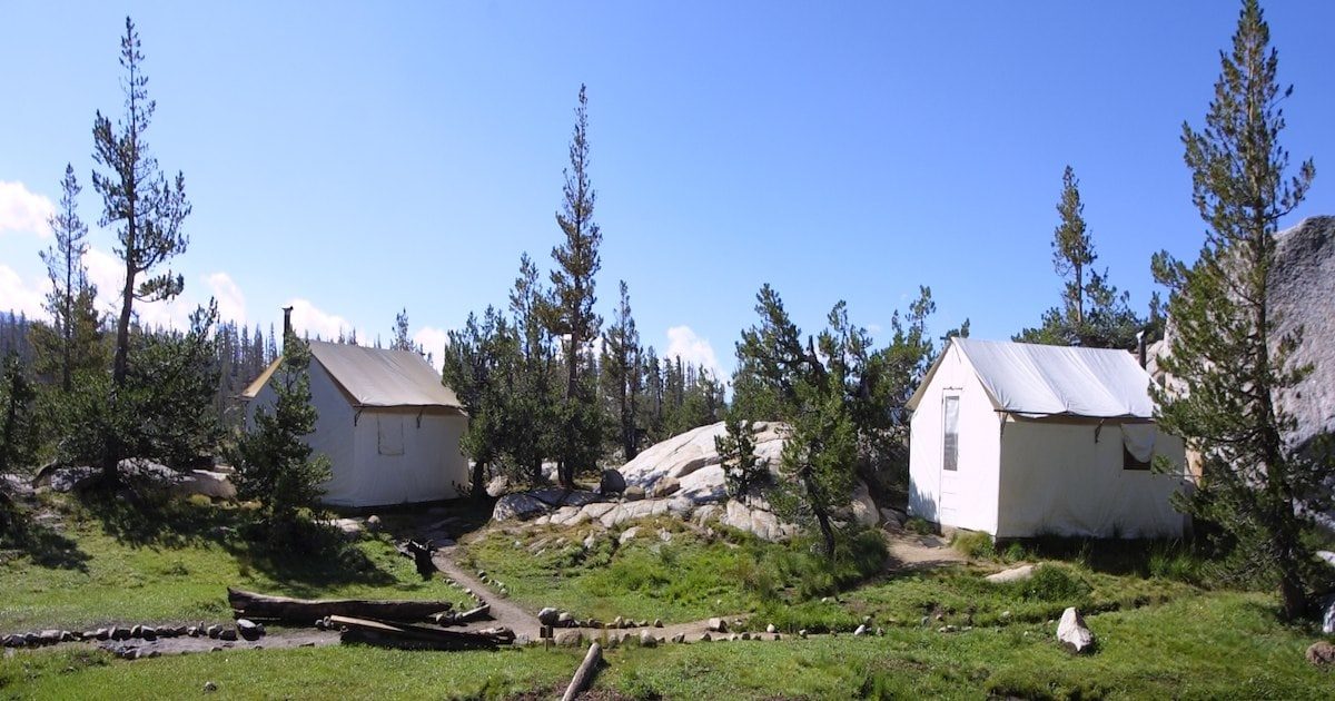
Merced Lake High Sierra Camp

🏕 Merced Lake High Sierra Camp

Campsite · 56.8 km from Yosemite

Merced Lake High Sierra Camp in Mariposa County, California, United States, provides an ideal overnight stop for travelers exploring the backcountry. Accessible by foot only along a scenic loop trail, the campsite offers rustic wilderness accommodations with …

💧 Water🚻 Toilet
Show on map →
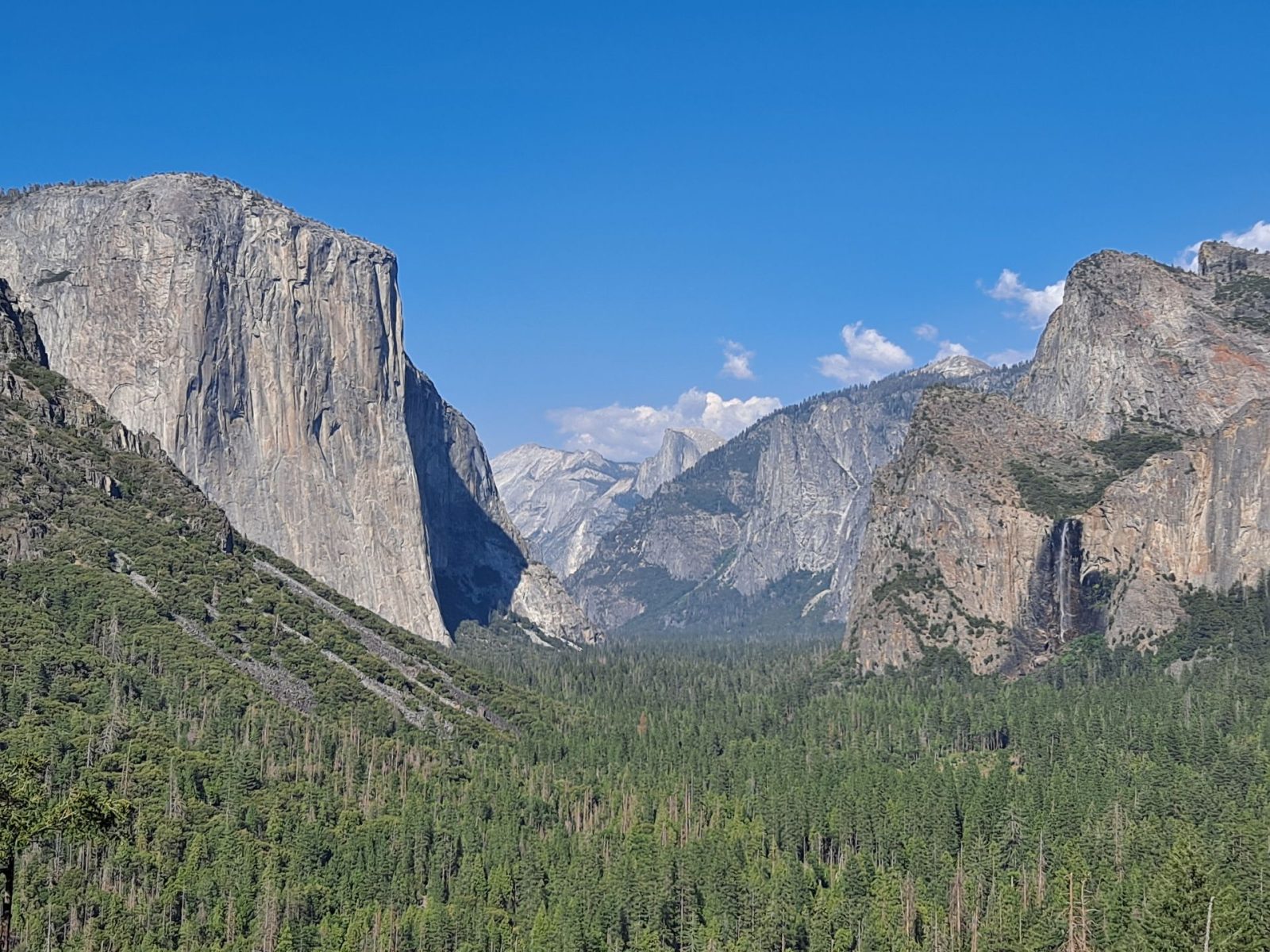
Wildhaven Yosemite Glamping

🏕 Wildhaven Yosemite Glamping

Campsite · 1.7 km from Yosemite

Wildhaven Yosemite Glamping in Mariposa County, California, offers an ideal overnight stop with mountain views. Stay in heated safari tents & modern cabins, just 45 mins to Yosemite Arch Rock entrance and 2 mins to Mariposa town. Enjoy live music & firepit …

⚡ Electricity📶 Wi-Fi
Show on map →
Mariposa Fairground RV Park and Campgrounds

🏕 Mariposa Fairground RV Park and Campgrounds

Campsite · 2.8 km from Yosemite

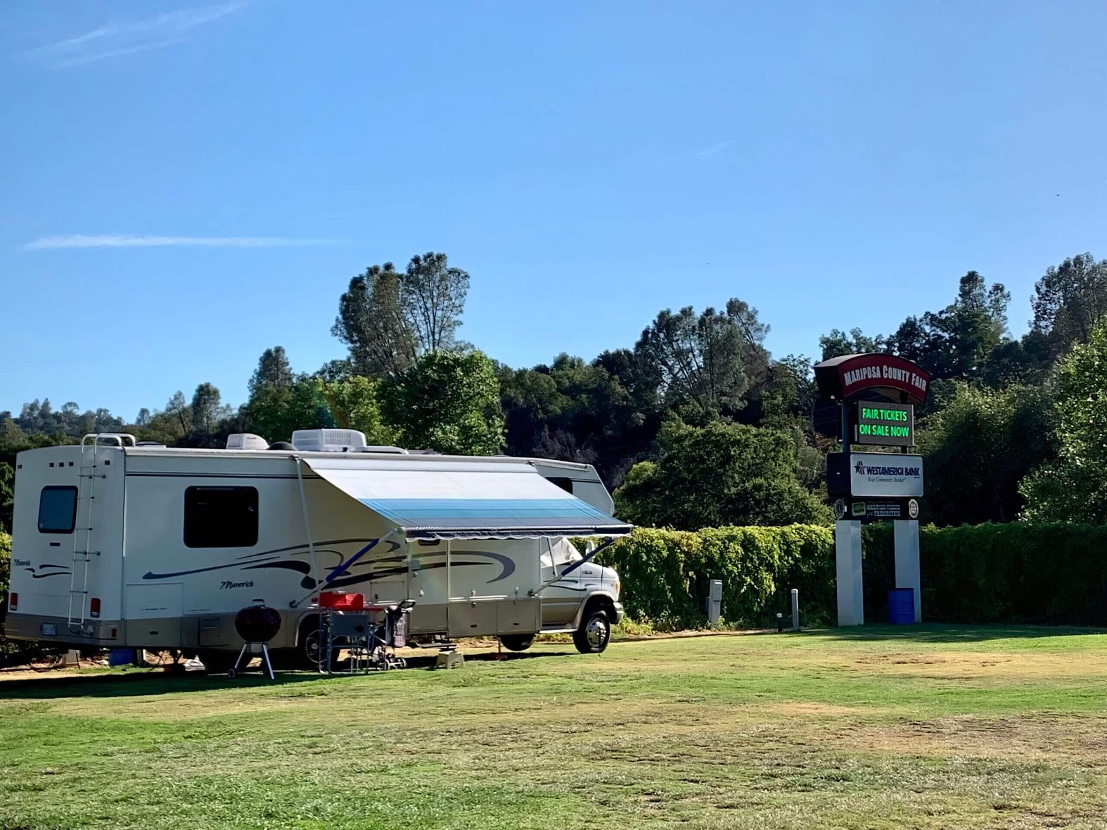
Mariposa Fairground RV Park and Campgrounds in Mariposa County, California, is a convenient overnight stop with electric and water hookups, on-site showers and restrooms, dump stations, and meeting halls available. The nightly pitch price is 55 USD on a …

🧺 Waste disposal🐕 Dogs welcome
Show on map →
Wawona Campground

🏕 Wawona Campground

Campsite · 26.2 km from Yosemite

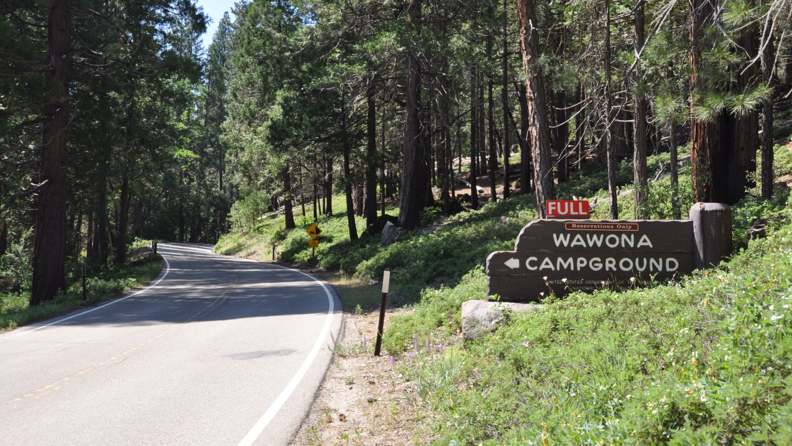
Wawona Campground in Mariposa County, California, United States, is a great overnight stop for travelers. To ensure your equipment fits the site, check reservations on recreation.gov before arriving. This simple step helps you plan your stay smoothly and …

🚻 Toilet
Show on map →
Lower Pines Campground

🏕 Lower Pines Campground

Campsite · 45.1 km from Yosemite

Lower Pines Campground in Mariposa County, California, United States is an ideal overnight stop. Check-in and check-out are at 12:00 PM. Each site accommodates a max of 6 people and 2 vehicles, with flush toilets and drinking water. A food storage locker is …

🚻 Toilet🐕 Dogs welcome
Show on map →
North Pines Campground

🏕 North Pines Campground

Campsite · 45.3 km from Yosemite

Set near the Merced River in Mariposa County, California, United States, North Pines Campground is an ideal overnight stop. Check-in is 12:00 PM, and the max vehicle length is 24 ft. Enjoy flush toilets, drinking water, and a food storage locker provided for …

🚻 Toilet🐕 Dogs welcome
Show on map →
AutoCamp Yosemite

🏕 AutoCamp Yosemite

Campsite · 7.5 km from Yosemite

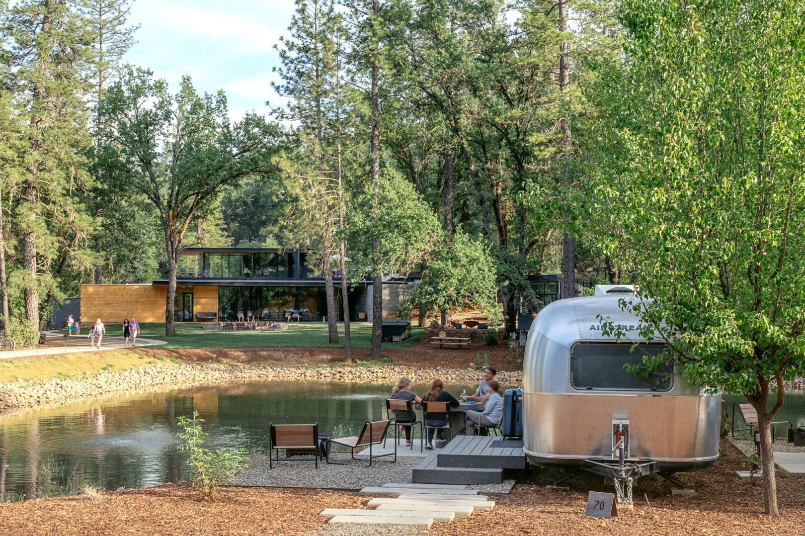
Located in Mariposa County, California, AutoCamp Yosemite is an ideal overnight stop near Yosemite National Park. Travelers can recharge at EV charging stations, enjoy clubhouse access, and grab essentials or a bite at the on-site store and dining. Plus, free …

📶 Wi-Fi🐕 Dogs welcome
Show on map →
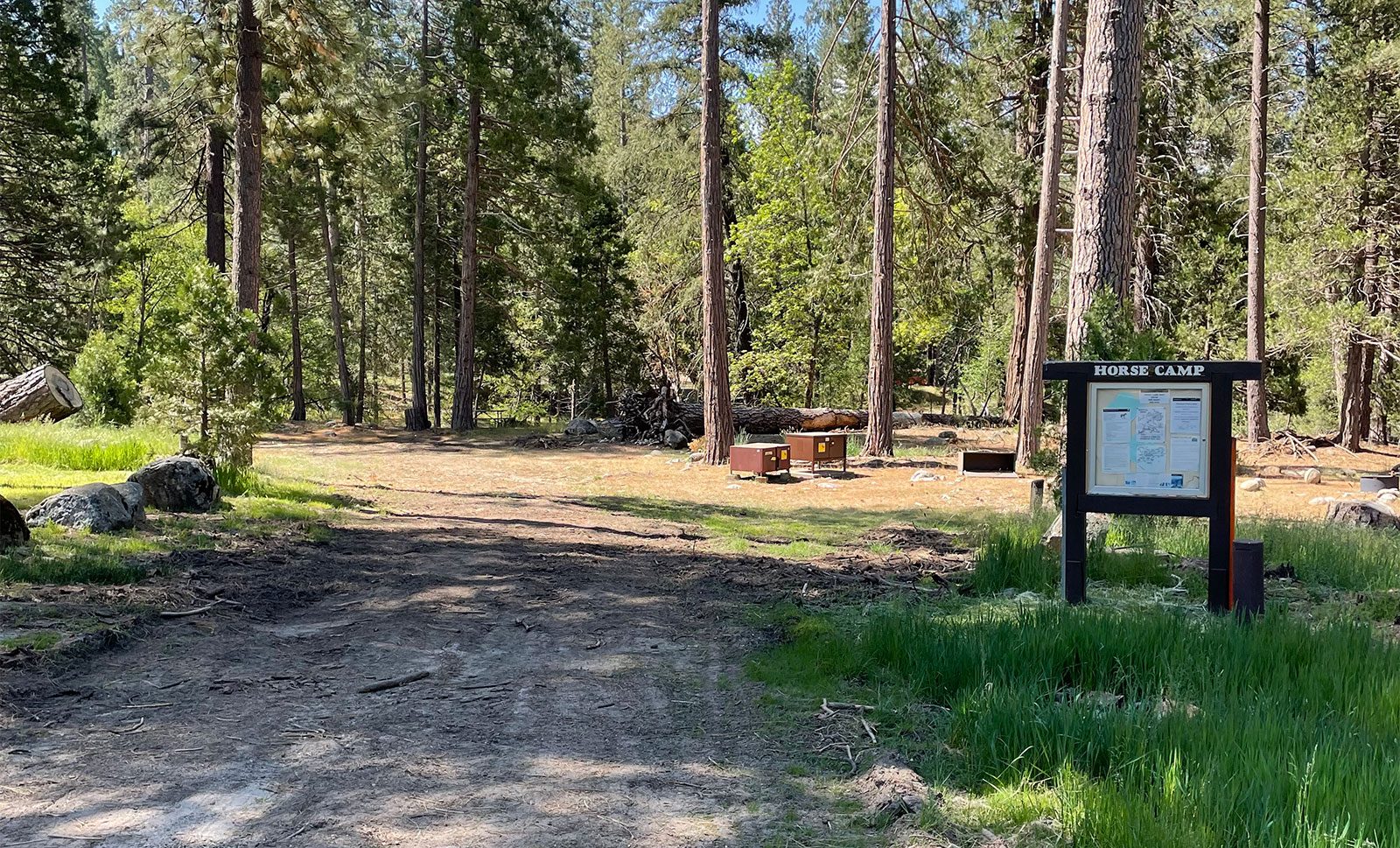
Wawona Horse Camp

🏕 Wawona Horse Camp

Campsite · 28.3 km from Yosemite

Situated in Mariposa County, this California campsite serves as a suitable overnight stop for travellers. The area offers a rural setting, providing a simple place to rest. Its facilities are designed for horses, making it a practical choice for those …

Show on map →
Camp Wawona

🏕 Camp Wawona

Campsite · 30.1 km from Yosemite

Camp Wawona, located in Mariposa County, California, is an unforgettable overnight stop in Yosemite National Park. Travelers can swim, enjoy nature exploration, and try archery, while thrill-seekers tackle rock climbing and challenge courses. It is the …

Show on map →
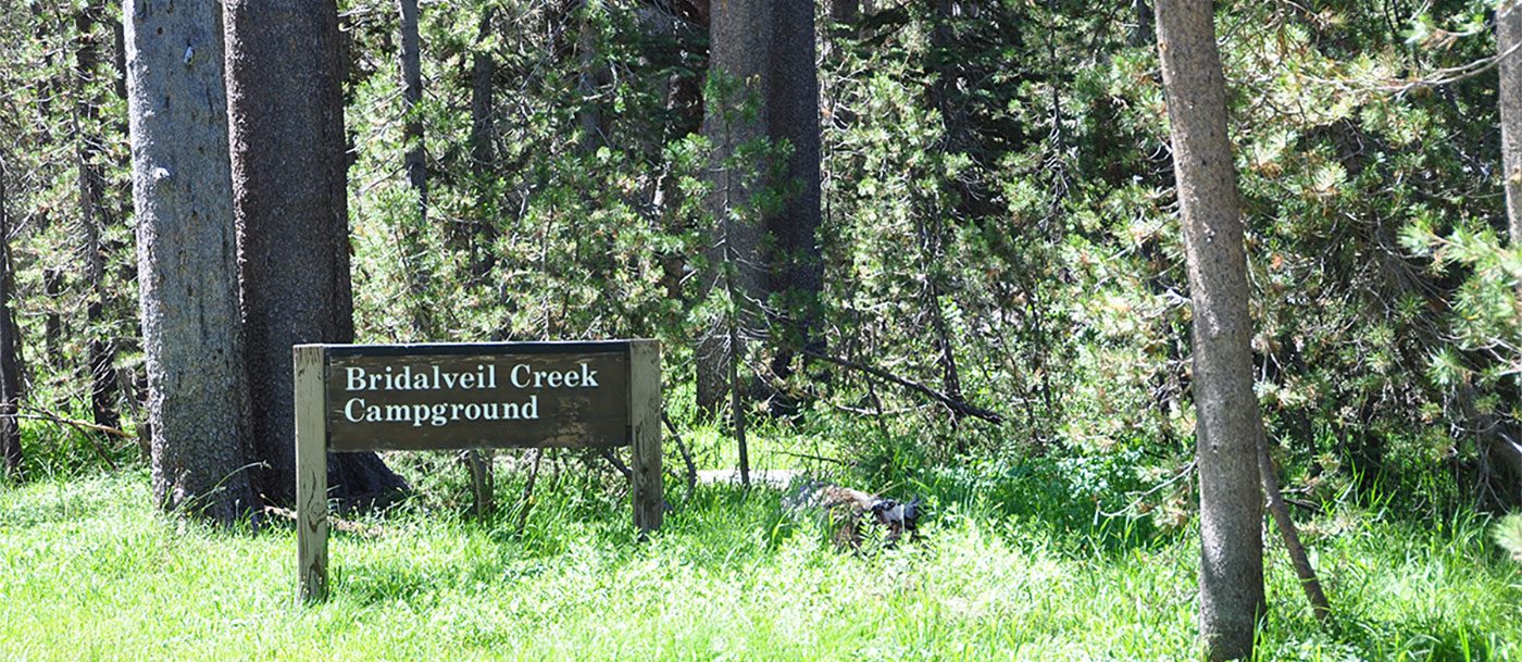
Bridalveil Creek Campground

🏕 Bridalveil Creek Campground

Campsite · 36.2 km from Yosemite

Situated in a scenic Californian county, Bridalveil Creek Campground provides a practical overnight stop for travelers seeking a rustic experience. The area offers a peaceful natural setting, making it an ideal base to rest and unwind amidst tranquil …

Show on map →
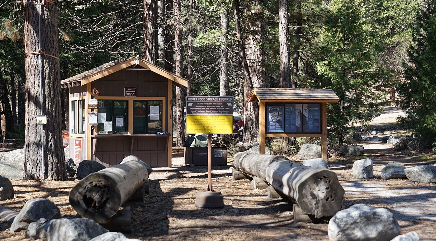
Camp 4

🏕 Camp 4

Campsite · 42.9 km from Yosemite

Located in a rural setting within the county, this campsite offers a basic overnight stop for travelers. The site provides simple facilities suitable for short stays, surrounded by natural scenery. Ideal for those seeking a convenient place to rest in a …

Show on map →
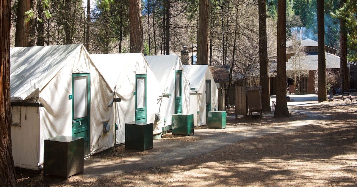
Curry Village

🏕 Curry Village

Campsite · 44.6 km from Yosemite

Curry Village in Mariposa County, California, is an ideal overnight stop beneath Glacier Point, offering stunning views and free guest parking. Choose from unheated or heated tent cabins to standard rooms and cabins with baths. Enjoy multiple dining options, …

Show on map →
Map: Indian Flat RV Park

🏕 Indian Flat RV Park

Campsite · 22 km from Yosemite

Indian Flat RV Park is located in Mariposa County, California. The campsite sits near the Merced River, where visitors can access the water for swimming or fishing. It also provides a convenient base for exploring Yosemite National Park, just a short drive …

⚡ Electricity💧 Water🚻 Toilet🚿 Shower📶 Wi-Fi
Show on map →
Map: Upper Pines Campground

🏕 Upper Pines Campground

Campsite · 45.1 km from Yosemite

Upper Pines Campground is located in Mariposa County, California, United States. Situated in the heart of Yosemite Valley, this stop places you among towering granite monoliths such as Half Dome and Sentinel Rock, with the Merced River flowing nearby. You can …

💧 Water🚻 Toilet
Show on map →
Map: Merced Lake Backpacker Camp

🏕 Merced Lake Backpacker Camp

Campsite · 56.8 km from Yosemite

Merced Lake Backpacker Camp is a stop in Mariposa County, California, United States. It sits near Merced Lake in Yosemite National Park's high country. Water from Fletcher Creek feeds the lake, with the Cathedral Range rising above. Hikers reach it via trails …

💧 Water🚻 Toilet
Show on map →
Map: May Lake High Sierra Camp

🏕 May Lake High Sierra Camp

Campsite · 57.9 km from Yosemite

May Lake High Sierra Camp is a campsite located in Mariposa County, California, United States. Set at an elevation of over 9,000 feet along the eastern edge of Yosemite National Park, it sits directly on the shores of May Lake, with the imposing granite domes …

💧 Water🚻 Toilet
Show on map →
Map: Sunrise High Sierra Camp

🏕 Sunrise High Sierra Camp

Campsite · 58.1 km from Yosemite

Sunrise High Sierra Camp is a campsite located in Mariposa County, California. It sits high in the Yosemite wilderness, offering backpackers direct access to the dramatic alpine landscape of Yosemite National Park. From this remote elevation, you can take in …

💧 Water🚻 Toilet
Show on map →
Map: Vogelsang High Sierra Camp

🏕 Vogelsang High Sierra Camp

Campsite · 64.6 km from Yosemite

Vogelsang High Sierra Camp is a campsite located in Mariposa County, California. It sits high in Yosemite National Park's remote backcountry, offering access to the rugged alpine landscape surrounding Fletcher Lake. Hikers reaching this elevation can look out …

💧 Water🚻 Toilet
Show on map →
Map: Dirt Flat

🏕 Dirt Flat

Campsite · 23.2 km from Yosemite

Dirt Flat is a campsite in Mariposa County, California. It sits right along the Merced River within the Sierra Nevada foothills, just outside Yosemite National Park. Campers here can fall asleep to the sound of rushing water and spend their days swimming in …

💧 Water
Show on map →
Map: Dry Gulch Campground

🏕 Dry Gulch Campground

Campsite · 23.6 km from Yosemite

Dry Gulch Campground is a camping stop located in Mariposa County, California, United States. This part of the Sierra Nevada foothills sits close to the boundary of Yosemite National Park, where dry gulches cut through brushy terrain and pine groves. You can …

💧 Water
Show on map →
Map: McCabe Flat Campground

🏕 McCabe Flat Campground

Campsite · 12.8 km from Yosemite

McCabe Flat Campground is located in Mariposa County, California, in the United States. It sits in the Merced River canyon, where oak and pine slopes rise steeply above the water. Swimmers and anglers use the river's pools and riffles, and the steep gorge …

Show on map →
Map: Lone Seqouia Campground

🏕 Lone Seqouia Campground

Campsite · 27.1 km from Yosemite

Lone Sequoia Campground is a stop located in Mariposa County, California. It sits on the western slopes of the Sierra Nevada, where you can explore dense forests of giant sequoias and rugged granite terrain leading toward the boundary of Yosemite National …

Show on map →
Map: Goat Meadow Dispersed Campsite

🏕 Goat Meadow Dispersed Campsite

Campsite · 30.1 km from Yosemite

Goat Meadow Dispersed Campsite sits in Mariposa County, California, United States. The surrounding landscape of this Sierra Nevada region features oak-studded rolling foothills that rise sharply toward the high country, with seasonal wildflowers covering the …

Show on map →
Map: Jerseydale Campground

🏕 Jerseydale Campground

Campsite · 13 km from Yosemite
Show on map →
Map: Willow Placer Campground

🏕 Willow Placer Campground

Campsite · 14.3 km from Yosemite
Show on map →
Map: Railroad Flat Campground

🏕 Railroad Flat Campground

Campsite · 15.5 km from Yosemite
Show on map →
Map: Summerdale Campground

🏕 Summerdale Campground

Campsite · 29.3 km from Yosemite
Show on map →
Map: Lake McSwain Campground

🏕 Lake McSwain Campground

Campsite · 29.9 km from Yosemite
Show on map →
Map: McClure Point Campground

🏕 McClure Point Campground

Campsite · 30.8 km from Yosemite
Show on map →
Map: Crane Flat Campground

🏕 Crane Flat Campground

Campsite · 32.5 km from Yosemite
Show on map →
Map: Barrett Cove Campground

🏕 Barrett Cove Campground

Campsite · 33.5 km from Yosemite
Show on map →
Map: Horseshoe Bend Campground

🏕 Horseshoe Bend Campground

Campsite · 34.3 km from Yosemite
Show on map →
Map: Tamarack Flat Campground

🏕 Tamarack Flat Campground

Campsite · 35.8 km from Yosemite
Show on map →
Map: Yellow Pine Administrative Campground

🏕 Yellow Pine Administrative Campground

Campsite · 41.9 km from Yosemite
Show on map →
Map: Yosemite Valley Backpackers Campground

🏕 Yosemite Valley Backpackers Campground

Campsite · 45.4 km from Yosemite
Show on map →
Map: Little Yosemite Valley Campground

🏕 Little Yosemite Valley Campground

Campsite · 48.4 km from Yosemite
Show on map →
Map: Yosemite Creek Campground

🏕 Yosemite Creek Campground

Campsite · 50 km from Yosemite
Show on map →
Map: Porcupine Flat Campground

🏕 Porcupine Flat Campground

Campsite · 50.3 km from Yosemite
Show on map →
Map: Porcupine Flat Campground

🏕 Porcupine Flat Campground

Campsite · 50.3 km from Yosemite
Show on map →
Map: Yosemite Creek Campground

🏕 Yosemite Creek Campground

Campsite · 50.3 km from Yosemite
Show on map →
Map: Vogelsang Backpacker Camp

🏕 Vogelsang Backpacker Camp

Campsite · 64.8 km from Yosemite
Show on map →

Data from OpenStreetMap, the places’ own websites and Stop4Sun users. Something wrong? Open the place on the map and correct it.
More places →